Current Sky & Weather Conditions at DSP Remote Observatory
See Tonight’s Sky in Real Time from New Mexico’s Darkest Observatory
Get instant access to the live data serious imagers rely on: current roof status, imaging hours, sky forecasts, and more—
all updated automatically. Know exactly what to expect, every night.
Roof Open. Scopes Running. Results Delivered.
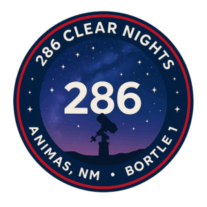
Here’s just how often our roof has been open for your telescopes to explore the cosmos.
Advanced Sky Forecast: Know If Tonight’s Conditions Are Worth Imaging
Astrospheric & Clear Sky Chart:
Get an all-in-one live forecast showing moon position, cloud cover, transparency, wind, temperature, seeing, and dew point. Astrospheric brings together multiple forecast layers, providing a comprehensive overview of sky quality for astronomers and astrophotographers. Use the moon phase to schedule your targets, monitor cloud cover for clear exposures, and see exactly when conditions will support deep-sky imaging.

Seeing Index & Weather Details: Optimize for Peak Performance
Seeing Index & Transparency (Meteoblue):
Updated hourly with real measurements from Meteoblue, delivering precise data on atmospheric stability (arcseconds of seeing) and transparency (light pollution, moisture, particulates). Low arcsecond values mean sharper stars and crisper images—especially important for high-resolution or long-exposure imaging. Transparency metrics reflect how faint a target you can capture in real time, ensuring you only shoot when conditions are at their best.

Wind Panels (Meteoblue & Windy.com):
Real-time wind charts display both current and forecasted wind speed and direction, sourced from Meteoblue and Windy.com. Reliable wind data is essential for protecting your equipment, optimizing guiding performance, and preventing wind-induced blur or vibration during long exposures.
Interactive Sky & Weather Maps: See the Bigger Picture
U.S. Regional Radar:
Delivers up-to-the-minute rain and storm tracking, showing precipitation zones as they develop and move. Regional overlays also include live cloud cover and wind fields, providing early warning for shifting conditions. Satellite overlays and animated radar maps let you make informed decisions hours or days in advance, reducing lost imaging time and helping you plan uninterrupted long exposure sequences.
